WATCHES AND WARNINGS:
TROPICAL STORM WATCH
Tropical storm conditions are possible, usually within 48 hours.
Wind speeds of 39-73 mph may affect your area
Begin reviewing your emergency plan
Check emergency supplies and restock if necessary
Monitor local news and weather updates frequently
Secure loose outdoor items that could become projectiles
Consider voluntary evacuation, especially from low-lying areas
TROPICAL STORM WARNING
Tropical storm conditions are expected, usually within 36 hours.
Strong winds (39-73 mph) will likely impact your area soon
Complete all storm preparations immediately
Follow evacuation orders from local officials
Move to higher ground if in flood-prone areas
Expect power outages and interruptions to water service
Travel will become dangerous as conditions deteriorate
HURRICANE WATCH
Hurricane conditions are possible, usually within 48 hours.
Wind speeds of 74 mph or higher may affect your area
Finalize your emergency action plan
Prepare to board up windows and secure your home
Fill vehicles with fuel and withdraw cash from ATMs
Check prescriptions and medical supplies
Prepare for potential evacuation orders
Identify evacuation routes and emergency shelters
HURRICANE WARNING
Hurricane conditions are expected, usually within 36 hours.
Destructive winds of 74+ mph will soon affect your area
Complete all preparations and follow evacuation orders immediately
If not evacuating, move to small interior room on lowest level
Stay away from windows, skylights, and glass doors
Turn refrigerator/freezer to coldest setting and keep closed
Charge electronic devices fully while power remains
Evacuation may become impossible as conditions worsen
STORM CATEGORIES AND IMPACTS :
TROPICAL DEPRESSION
Sustained winds up to 38 mph
Minor coastal flooding possible
Generally not a significant threat to structures
Can produce localized heavy rainfall and flooding
TROPICAL STORM
Sustained winds of 39 to 73 mph
Can cause downed trees and power lines
Minor roof damage to well-built homes
Coastal flooding from storm surge (2-4 feet)
Flash flooding from heavy rainfall
Power outages lasting hours to days
Can spawn tornadoes with little warning
HURRICANE
Sustained winds of 74 mph or higher
PLANNING FOR AN EMERGENCY
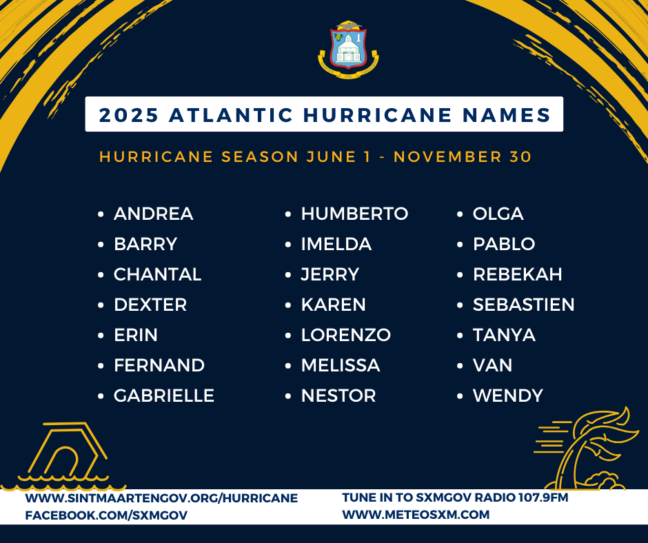
Disaster kits and emergency supplies should be fully stocked by June 1, the start of hurricane season. Once a hurricane warning is declared, most of your preparations should be directed toward your home.
Remember to discuss your family emergency plan ahead of time. Your family may not be together when disaster strikes, so it is important to know how you will contact one another, how you will get back together and what to do in case of an emergency.
STAY ALERT DURING HEAVY RAIN FALL
In the event of heavy rainfall, be aware of street flooding, flash floods, and rockslides which can occur in the following areas. Residents and visitors should stay away from these areas until water levels subside.
A.T. Illidge Road, Round-a-bout, Philipsburg.
Arch Road, Bible Baptist Church to Pool Bar de Snor.
Beacon Hill Road, from Sunset Bar & Grill until the beginning of White Sands Road.
Belvedere Border Point, Belvedere.
Billy Folly Road, in front of the Atrium Hotel, Pelican.
Emmaplein, in the area of Jump Up Casino, Philipsburg.
L.B. Scot Road, from Emilio Wilson Park up to the Cake House Supermarket.
Rhine Road, aka Mullet Bay Road, after Sonesta Maho Beach Hotel to the entrance of Cupecoy.
Welgelegen Road, Cay Hill, from Welgelegen Road Roundabout until the One Tete Loke Roundabout.
Well Road, Wellington Road, Orange Grove Road, side roads Cole Bay.
Yrausquin Boulevard, in front of Fairway Supermarket and the intersection by St. Maarten Port Services, Point Blanche.
Zagersgut, from Petro Plus Gas Station until the Seventh Day Adventist Church.